Navigate new normals with Google Maps
With the state of the pandemic varying across the globe, the new normal looks different depending on where you go. But no matter your situation, Google Maps has your back with new tools to help you navigate and explore as safely as possible.
Keep your distance on mass transit
It’s no surprise that transit ridership took a drastic plunge during the early days of the pandemic. While people are returning to public transit — with transit directions on Maps increasing 50% compared to last year in the U.S. — safety remains top of mind. That’s why we’re expanding transit crowdedness predictions to over 10,000 transit agencies in 100 countries so you’ll know if your line is likely to have lots of open seats, hit full capacity, or be anywhere in between. With this information you can decide whether you want to hop on board or wait for another train. Because pandemic or not, no one likes standing in a jam-packed subway car.
These predictions are made possible through our AI technology, contributions from people using Google Maps, and historical location trends that predict future crowdedness levels for transit lines all over the world. All these predictions were designed with privacy in mind. We apply world-class anonymization technology and differential privacy techniques to Location History data to make sure your data remains secure and private.
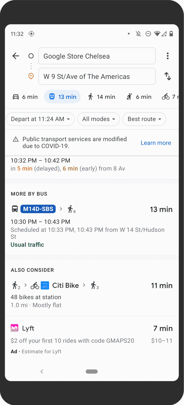
Transit crowdedness predictions are expanding to over 10,000 cities in 100 countries
In New York and Sydney, we’re piloting the ability to see live crowdedness information right down to the transit car level. This feature is powered by data from agencies like Long Island Rail Road and Transport for New South Wales, with more cities coming soon.
So how is transit crowdedness trending across the U.S.? New York City, Atlanta, San Francisco, Boston, and Washington D.C. lead the pack as some of the cities with the most crowded lines. Nationally, you’re most likely to get a seat at 9 a.m, whereas cars may be standing room only between 7-8 a.m. In the evening, leaving earlier than rush hour will up your chances of grabbing a seat, with lines being far less crowded at 3 p.m. than they are between 4-5 p.m.
See live crowdedness at the transit car level in Sydney and New York
Be intentional with your time
After living through a global pandemic, people have told us that they want to be more intentional about how they spend their time. The new Timeline Insights tab, which is visible only to you, can help you do just that. If you're an Android user and you’ve chosen to turn on Location History, you’ll see a new tab in your Timeline (just tap on your profile photo, then Your Timeline to find it) that provides monthly trends about how you’re navigating the world. You’ll see which modes of transportation you’ve used and the distance and time you’ve driven, flown, biked or walked. You can also see how much time you’re spending at different places — like shops, airports and restaurants — and instantly drill down to see all the places you visited.
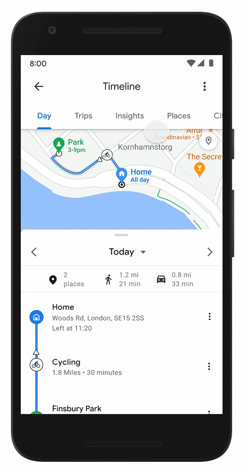
See helpful insights and trends about places you visit
Reminisce about past trips and plan future ones when you feel safe
If you’re feeling nostalgic but not quite ready to travel yet, head on over to the Trips in Timeline tab which is now live for everyone on Android. Use Trips in Timeline to relive parts of past vacations, like which hotels you stayed at during that epic trip to Tokyo or the restaurants you visited on your weekend getaway. Planning ahead? Export these places to a list and share them with friends who need travel recommendations.
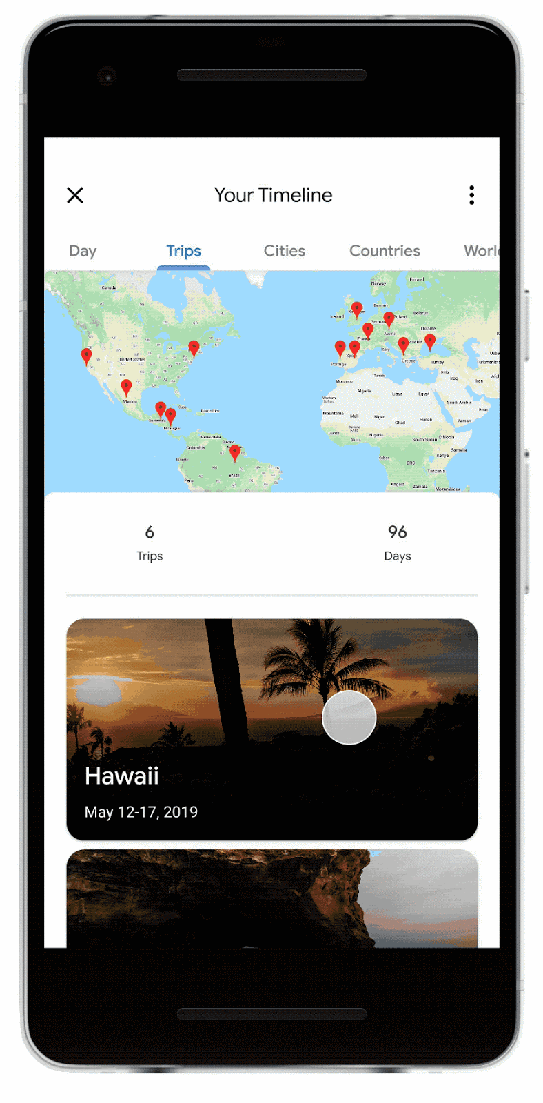
Use Trips in Timeline to reminisce about past trips and plan new ones
If you want to edit your information, you can easily manage your data — in bulk, in-line, or with auto-delete controls — right from your private Timeline.
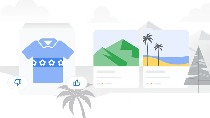
Leave more detailed reviews
We’re making it even easier to keep your community up to date and support local businesses with reviews. Now when you leave a review for a restaurant, you’ll see prompts to share useful information, such as price ranges or if you got takeout or delivery. Best of all: You can answer with just a few quick taps. This is now live for all restaurants in the U.S. on Android and is rolling out to iOS, with more categories and countries on the way.
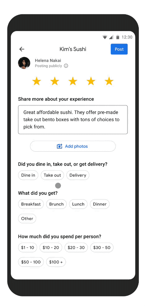
Share helpful information about a restaurant with a few easy taps
Navigating this ever-changing ‘normal’ will take some getting used to, but Google Maps is here to help you get your bearings. Check out a few more helpful tips to help you plan and get around — whether you’re using Google Maps on Android or iOS.