Get some fresh air outdoors with Google

As temperatures heat up and summer officially begins across the United States, many of us are taking the opportunity to explore the great outdoors. If you have an adventure on the horizon, here are two ways you can use Google tools to stay safe and healthy during your summer activities.
Check the air quality before you head out
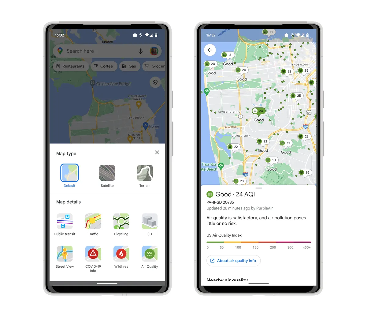
When you're visiting a new place or planning outdoor activities, it can be helpful to know the air quality conditions — like whether it’s unusually smoggy. Check out the air quality layer on Google Maps for both Android and iOS, to help you make more informed decisions about whether it’s safe to go on a hike or other outdoor adventures. You’ll see Air Quality Index (AQI), a measure of how healthy (or unhealthy) the air is, along with guidance for outdoor activities, when the information was last updated, and links to learn more.
The air quality layer shows trusted data from government agencies, including the Environmental Protection Agency in the U.S. We are also showing air quality information from PurpleAir, a low-cost sensor network which gives a more hyperlocal view of conditions. To add the air quality layer to your map, simply tap on the button in the top right corner of your screen, then select Air Quality under Map details.
You can also view air quality information from PurpleAir on Nest displays and speakers. The broad coverage of PurpleAir sensors means significantly more people in the U.S. will be able to access vital air quality information directly from their Nest devices.
Be prepared during wildfire season
In recent years, wildfires have intensified and increased across the United States and around the world. Google Search interest in “Best air filters for wildfire smoke” and “Best mask for wildfire smoke” has doubled over the past year in the U.S. As wildfire season approaches, these Google features can help you safely navigate wildfires.
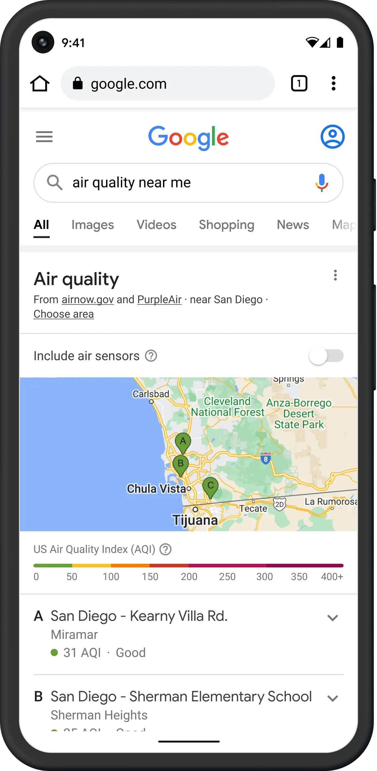
Before you head out, turn on the wildfire layer in Google Maps to see more details about active fires in the area thanks to our partnership with the National Interagency Fire Center (NIFC). Or, for larger wildfires, you can use Search to look up "wildfires near me", and we'll surface associated air quality information along with useful information about the fire. In the coming months, we’re also adding smoke data across the U.S. from the National Oceanic and Atmospheric Administration (NOAA) to our air quality information on Google Search.
We collaborate closely with partners in the weather and air quality space to surface helpful and authoritative information when you need it most. As you head out on hikes, camping trips and other outdoor adventures, we hope these tools help you feel safe and informed so you can enjoy the summer.


