Rove around "Mars on Earth” in Street View

Devon Island, a desolate land mass in Canada’s Arctic with a polar climate and treacherous terrain, is the largest uninhabited island on Earth. Yet the factors that make the island unlivable also make it indispensable to the scientists and researchers who work there—its climate and landscape are the closest thing to Mars that can be found on Earth.
Now anyone can visit "Mars on Earth" in Street View. Last year, I received a special invite from Dr. Pascal Lee, chairman of the Mars Institute and director of the Haughton-Mars Project, to visit Devon Island and learn about the research done there. We spent three months preparing for the expedition, and after 72 hours on seven flights, found ourselves at basecamp surrounded by an untouched landscape.
Devon Island, much like a future base on Mars, lacks the infrastructure we take for granted. All the supplies needed for camp—food, gasoline, tools and personal supplies—must be brought along on each excursion, and all the waste packed up and brought back to the mainland. At the research base, everyone has their job. Even Dr. Lee’s dog KingKong has a responsibility—he’s there to serve as an advance warning in case a polar bear wanders into camp.
Every morning, before heading out to collect Street View on ATVs, we would brief as a group to make sure everybody knew the plan that day: who was leading, who would ride rear, and who was staying at camp to cook and handle maintenance. This provided a real insight into how humans who will go to Mars will explore the new planet: detailed planning and preparation is key.
Visit Devon Island on Google Earth

Throughout the week, we rode to some of the places of most interest to NASA’s research and exploration: Haughton Crater, an impact crater 20-kilometers in diameter; Astronaut Canyon, similar to many of the V-shaped, winding valleys on Mars; and the ancient lake beds of Breccia Hills. What strikes you most about Devon Island is how vast and desolate everything is. Yet every rock, hill and canyon tells a story. Breccia Hills, for example, is filled with shatter cones, rocks created by meteor impact millions of years ago.
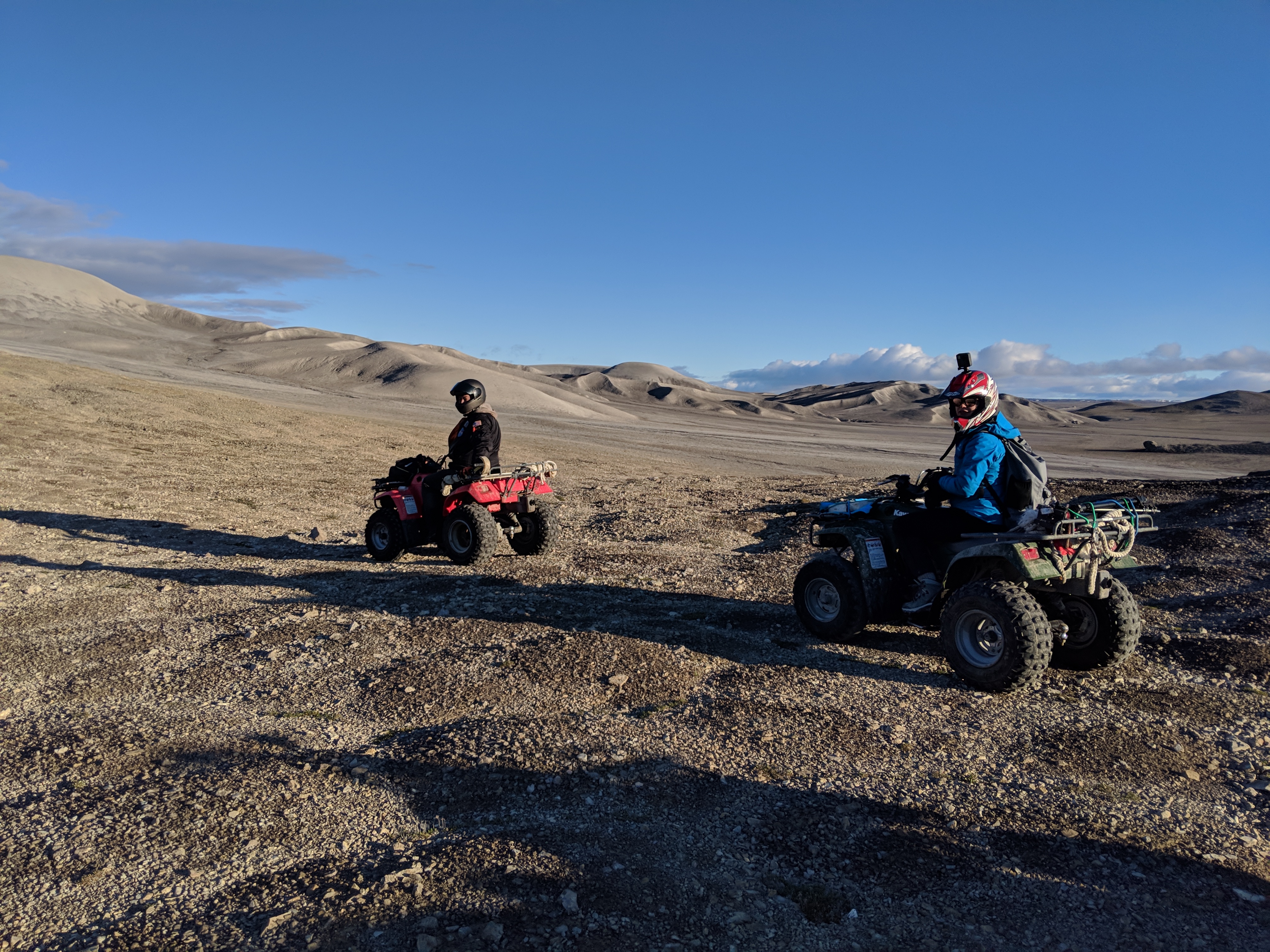
The expedition used ATVs to get around the rocky terrain.
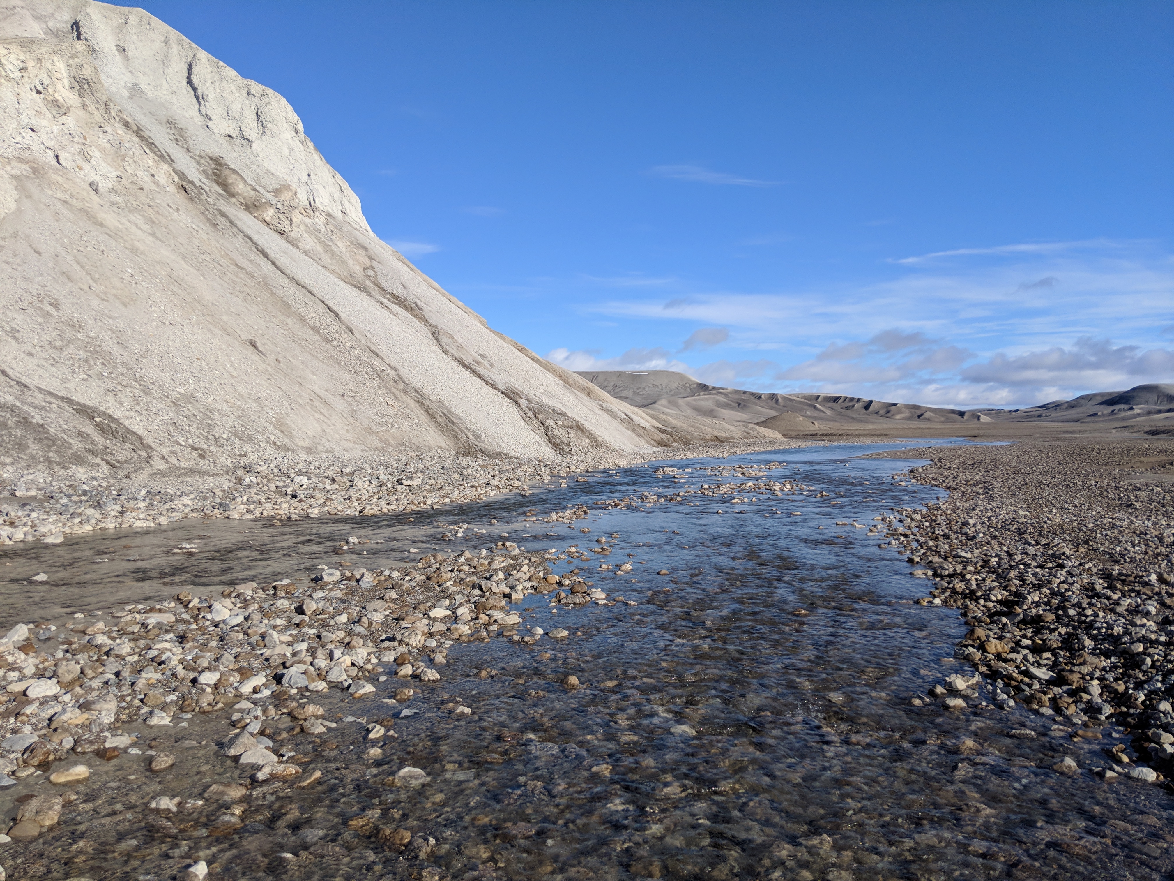
Breccia Hills

Shatter cone from Breccia Hills up close

Caption: KingKong stands watch at camp for wandering polar bears.
We were also able to capture our experience on a Pixel 3, shooting the first-ever documentary filmed on Pixel to showcase just how majestic, and sometimes trying, training for a Mars Mission on Devon Island can be.
Explore “Mars on Earth” and learn about the work being done there in a new Google Earth guided tour.


